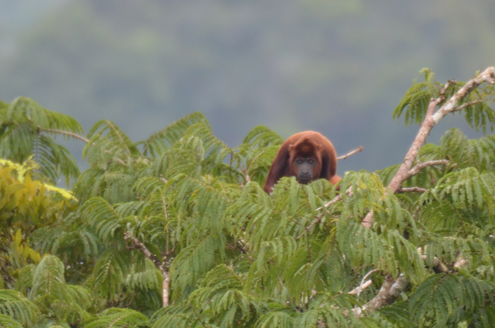
To properly set up this adventure, I am going to describe to you a little about the area we are in. We are on the Napo River, a major tributary of the Amazon River’s headwaters. The time of year is the end of the dry season. The rains are expected any day now. Further upstream and in the Andes Mountains, it has already started raining. Because it is the end of the dry season, the water level is very low. Our boat, The Manatee Amazon Explorer, has had some difficulty navigating the last couple of days. Although the Manatee’s draft is only 4 feet, in some places that has not been enough, and several times we could hear the boat dragging along the sandy bottom. Captain Dali has had his hands full on the bridge, safety navigating the boat to each day’s destination.
At various points during our excursions, I would take out my iPhone, allow it locate us on PocketEarth, a great mapping app that does not require Internet access. Once a GPS fix was acquired, I would then take a screen shot. Now, I had our Longitude, Latitude, Time, Date and a map which I could compare against the various pictures we had taken, to know where they were taken, and generally recreate each day’s adventure in more detail. This map is the end result of that record keeping, and would have been virtually impossible otherwise.
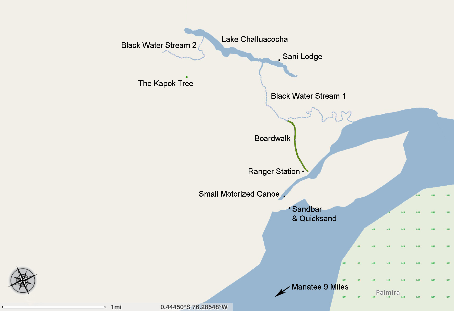
Map of the Kapok Tree Adventure
Link To An Interactive Map
This is a story of one amazing day in the Amazon. It was a Saturday. Read more →