To properly set up this adventure, I am going to describe to you a little about the area we are in. We are on the Napo River, a major tributary of the Amazon River’s headwaters. The time of year is the end of the dry season. The rains are expected any day now. Further upstream and in the Andes Mountains, it has already started raining. Because it is the end of the dry season, the water level is very low. Our boat, The Manatee Amazon Explorer, has had some difficulty navigating the last couple of days. Although the Manatee’s draft is only 4 feet, in some places that has not been enough, and several times we could hear the boat dragging along the sandy bottom. Captain Dali has had his hands full on the bridge, safety navigating the boat to each day’s destination.
At various points during our excursions, I would take out my iPhone, allow it locate us on PocketEarth, a great mapping app that does not require Internet access. Once a GPS fix was acquired, I would then take a screen shot. Now, I had our Longitude, Latitude, Time, Date and a map which I could compare against the various pictures we had taken, to know where they were taken, and generally recreate each day’s adventure in more detail. This map is the end result of that record keeping, and would have been virtually impossible otherwise.
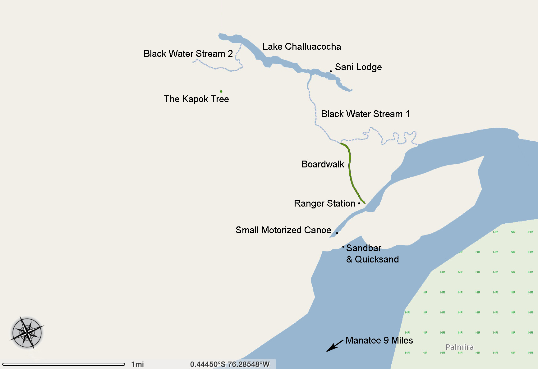
Map of the Kapok Tree Adventure
Link To An Interactive Map
This is a story of one amazing day in the Amazon. It was a Saturday. Raul, our guide, informed us the night before that today we would be going on a long excursion. We would leave the Manatee right after breakfast and be back on board sometime after dark, and he told us what gear we would need, what clothing would be appropriate, etc. Rubber boots, long pants, long sleeves, rain poncho, hat, water, flashlights, etc., were going to be needed. So, after breakfast we grabbed our gear, boarded the large motorized canoe and started off down the river. It was about 9 miles to our destination and took about 30 minutes to get there. The driver of our canoe pulled the boat up on a sandbar. We all got out of the canoe and stepped ashore. It only took a few seconds to realize it was quicksand. Once you start sinking in that stuff it goes quick all right. We pulled our feet up quickly and moved away from the water to dryer sand. It’s harder than you think to do, and keep your shoes on, too. We’re just starting the day and we’re already muddy!
We started the hike across the sandbar, about 200 yards. On the other side, the small motorized canoe was waiting. This was the first time we had used the small canoe. Usually the crew of the Manatee used this one for getting supplies and for checking water depth, to help the Manatee navigate. We asked about why we had to switch boats, and the answer was the large canoe was unable to get around the sand bar, as the water was too shallow in this area. It made me wonder how long before us the small canoe had left, and how much manual labor did it take to drag the small canoe over the sandbar so that we could use it on the other side. Now this is service! So we got in the smaller canoe and crossed a small portion of the river to the other side.
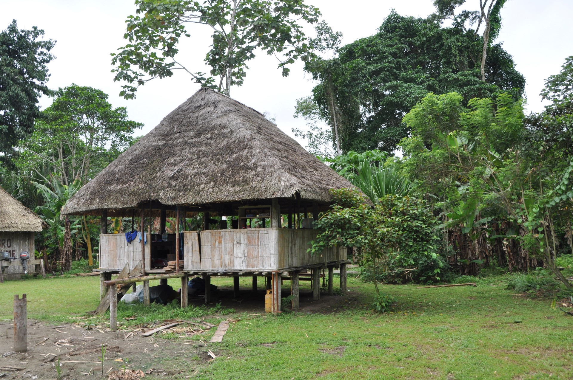
Park Ranger’s Station
Once safely upon the bank of the river, we regrouped, while Raul paid the park entry fees to the Park Ranger, Jose. Next we hiked across a “Palm Swamp”, called such as it is an area that floods frequently, and certain large tall palm trees only grow there. There was a nice boardwalk constructed to make the hike easy. The Boardwalk was about 3 feet high, and about 5 feet wide. A green plastic mesh was secured to the wooden surface to give some traction. The walk was about 1km long, or about 2/3 of a mile. There were many interesting plants to see in the swamp.
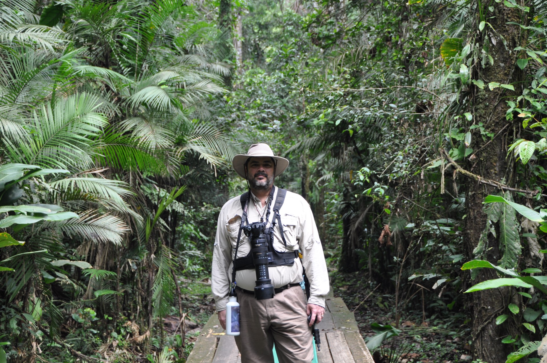
Curtis on the Boardwalk
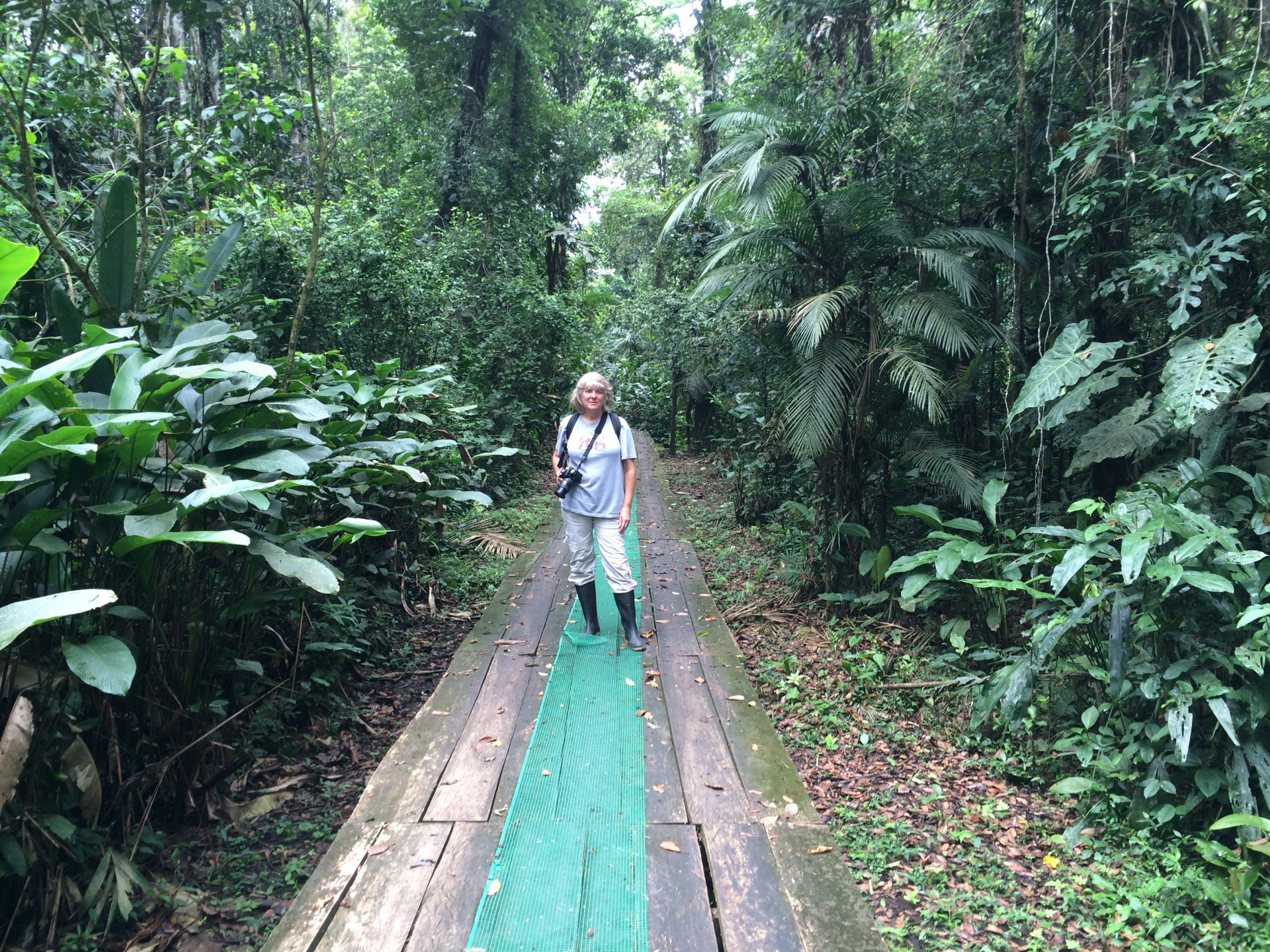
Kathy on the Boardwalk
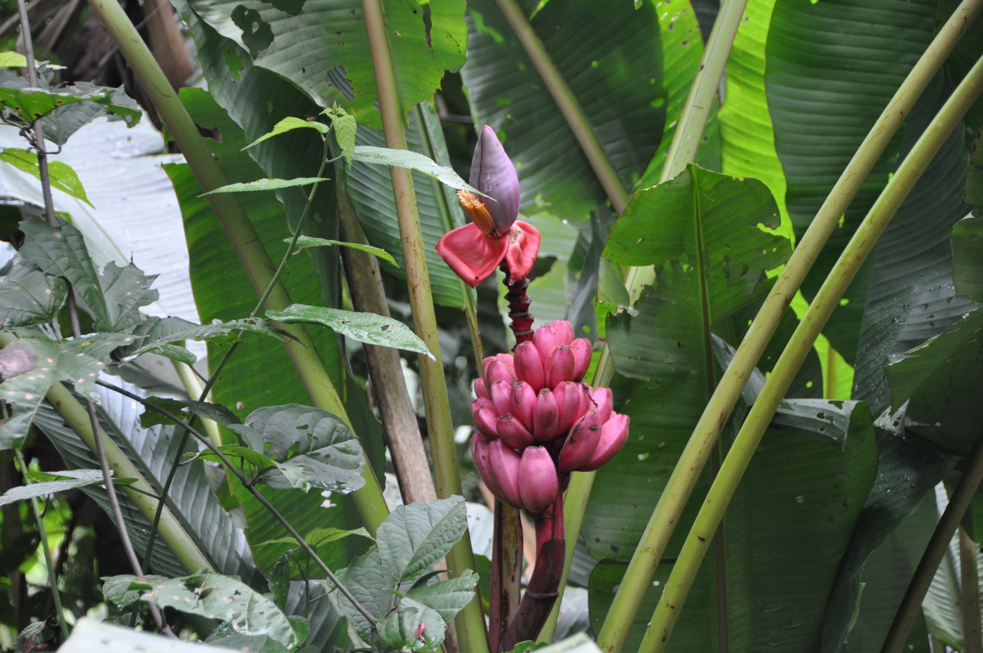
Pink Bananas
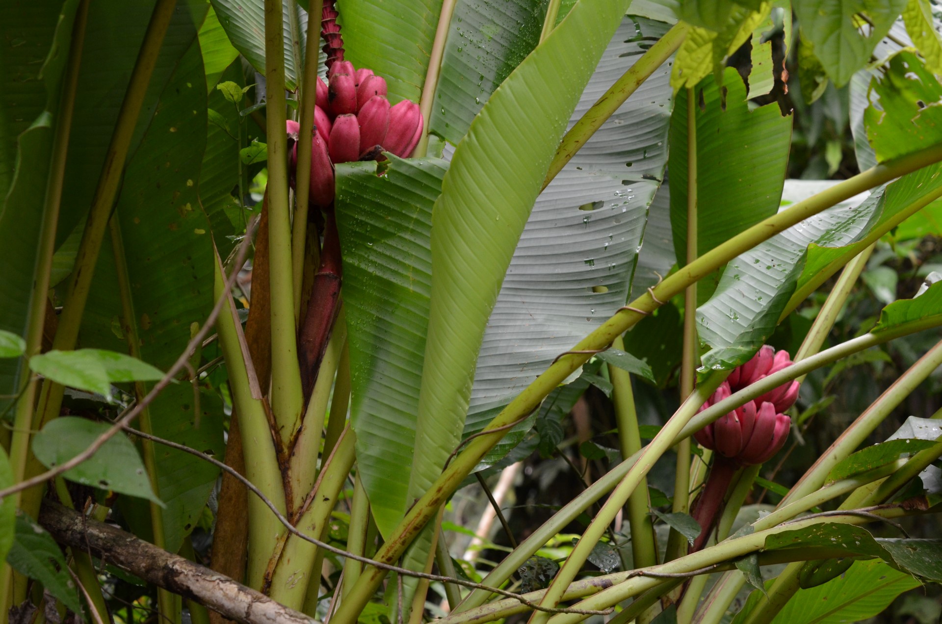
Pink Bananas
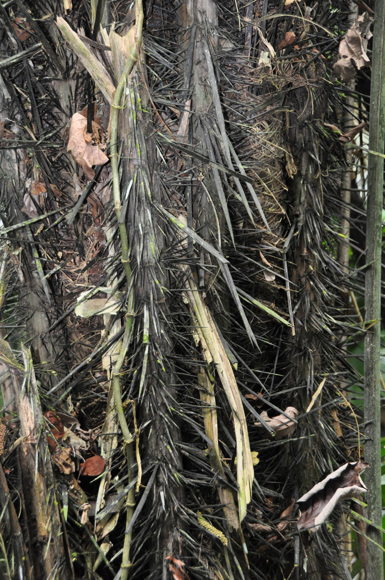
Thorns!
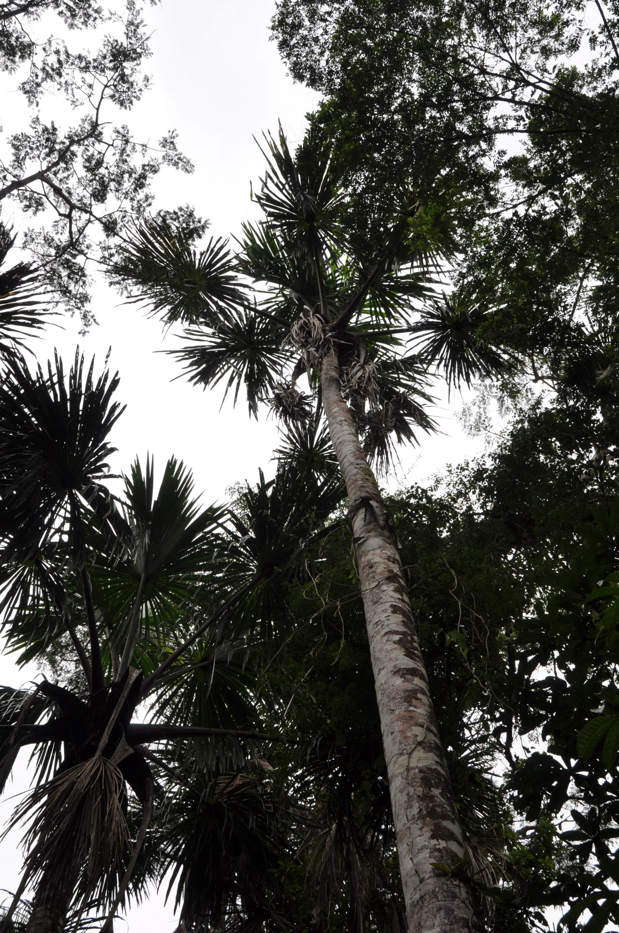
Palm tree in the Swamp
Upon reaching the end of the boardwalk, we arrived at a small dock on a small stream. There we boarded a small canoe, with Raul in the front with a paddle, and the park ranger, Jose, at the rear with a paddle, and the rest us spread out in between. The stream had black water (caused by the vegetation that grows along the banks), and averaged about 10-25 feet wide, and only a couple of feet deep. The vegetation along the stream was very thick, and the canopy fully covered us overhead. At one point on the stream the bank turned orange. It was an area rich in iron that was leaching out of the ground and basically rusting.
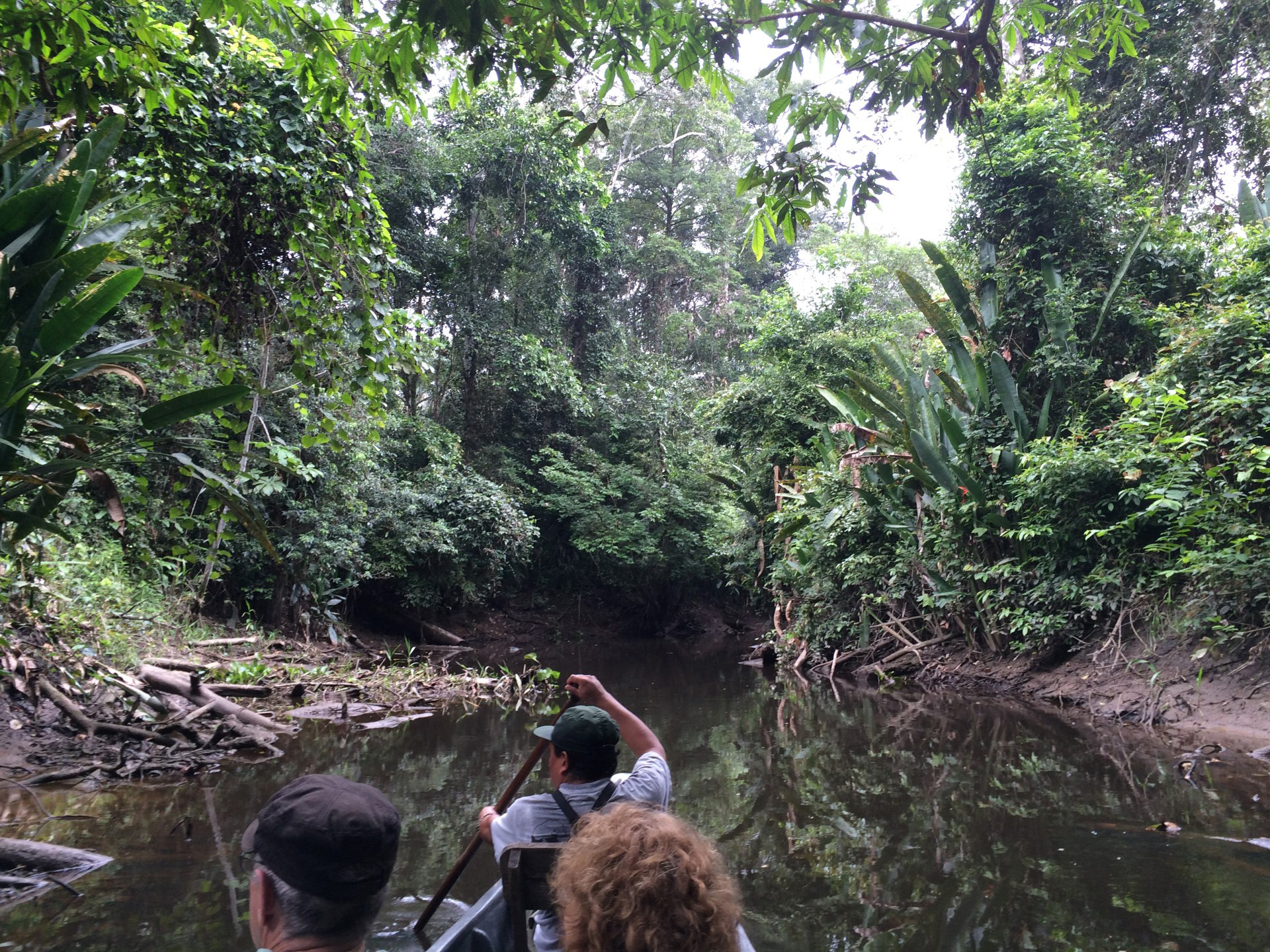
Paddling Along
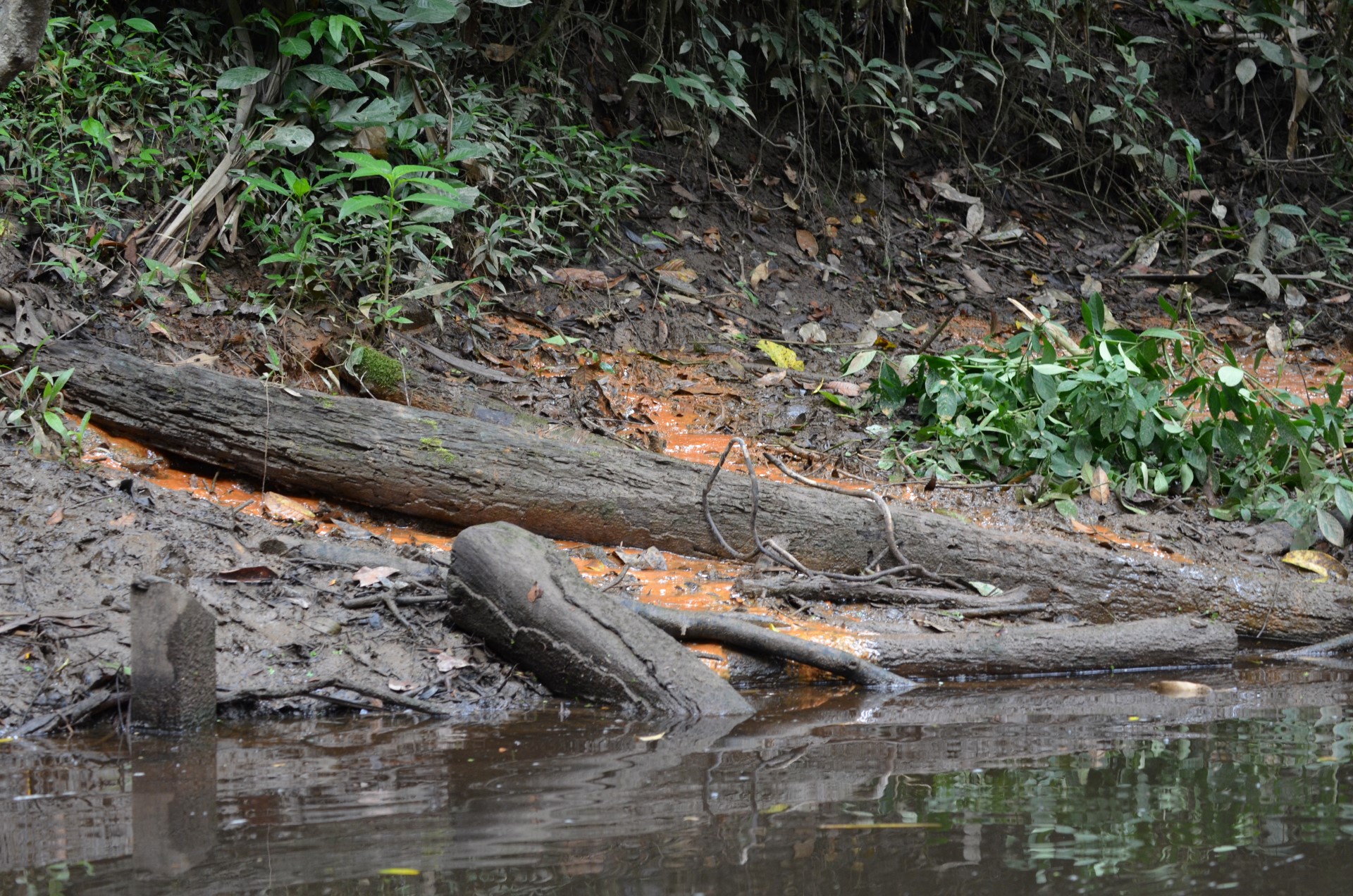
The Orange Bank
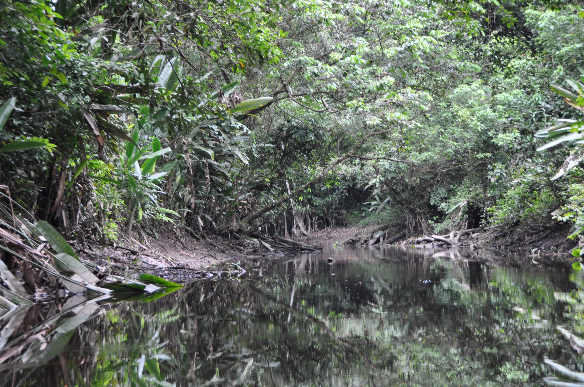
Black Water Stream
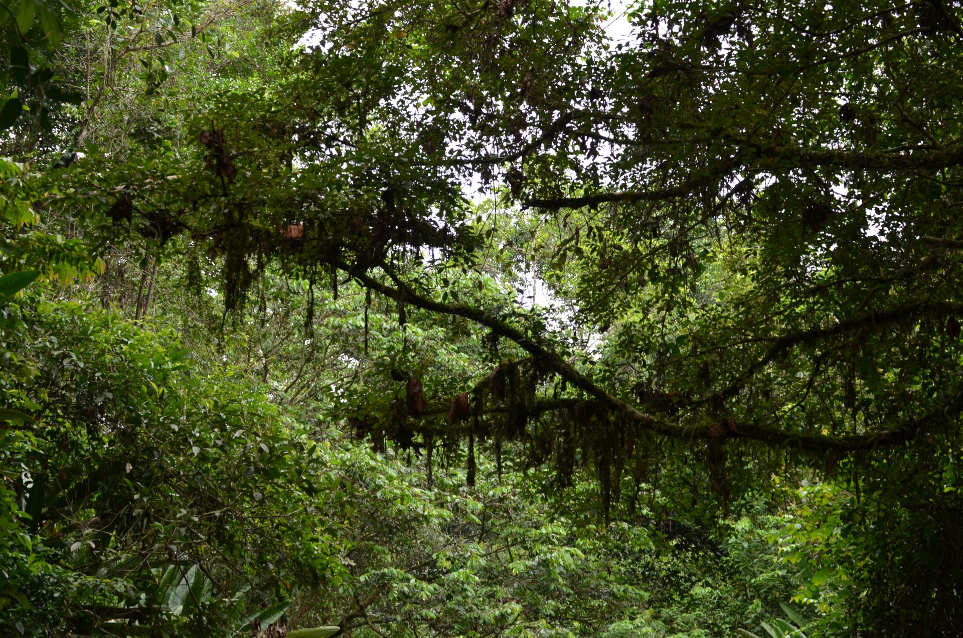
Thick Canopy Overhead
Black Water Stream
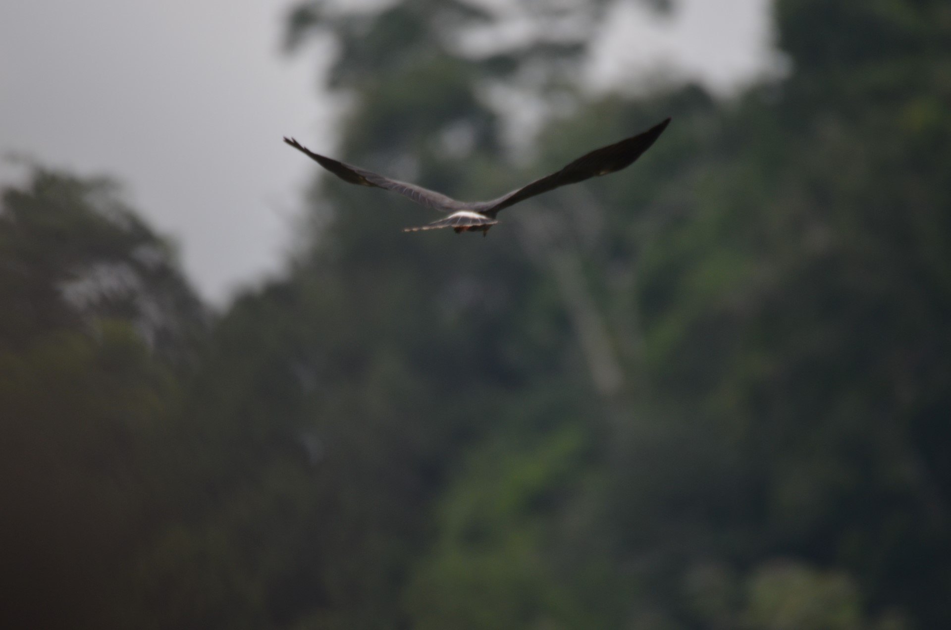
Raul and Jose dutifully paddled our canoe upstream about 1km where we entered Lake Challuacocha. The forest canopy opened and the sky spread out above us. This was just fantastic. Lush vegetation grew all around, in and on the lake. We continued to paddle around the lake for about another hour or so, covering a large portion of it. There were many birds and fish to see, and spectacular flora.
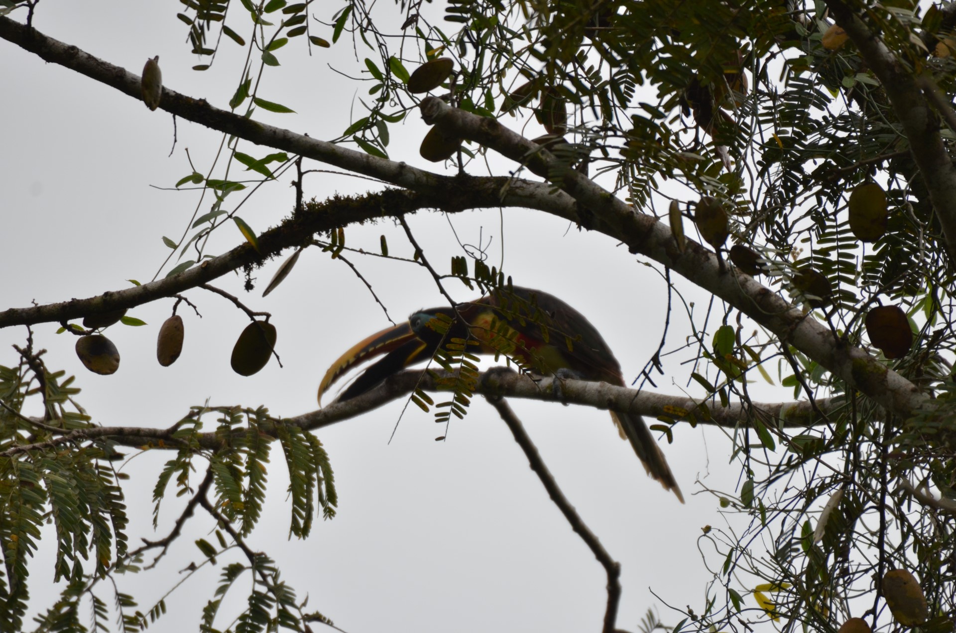
Toucan
Cormorant
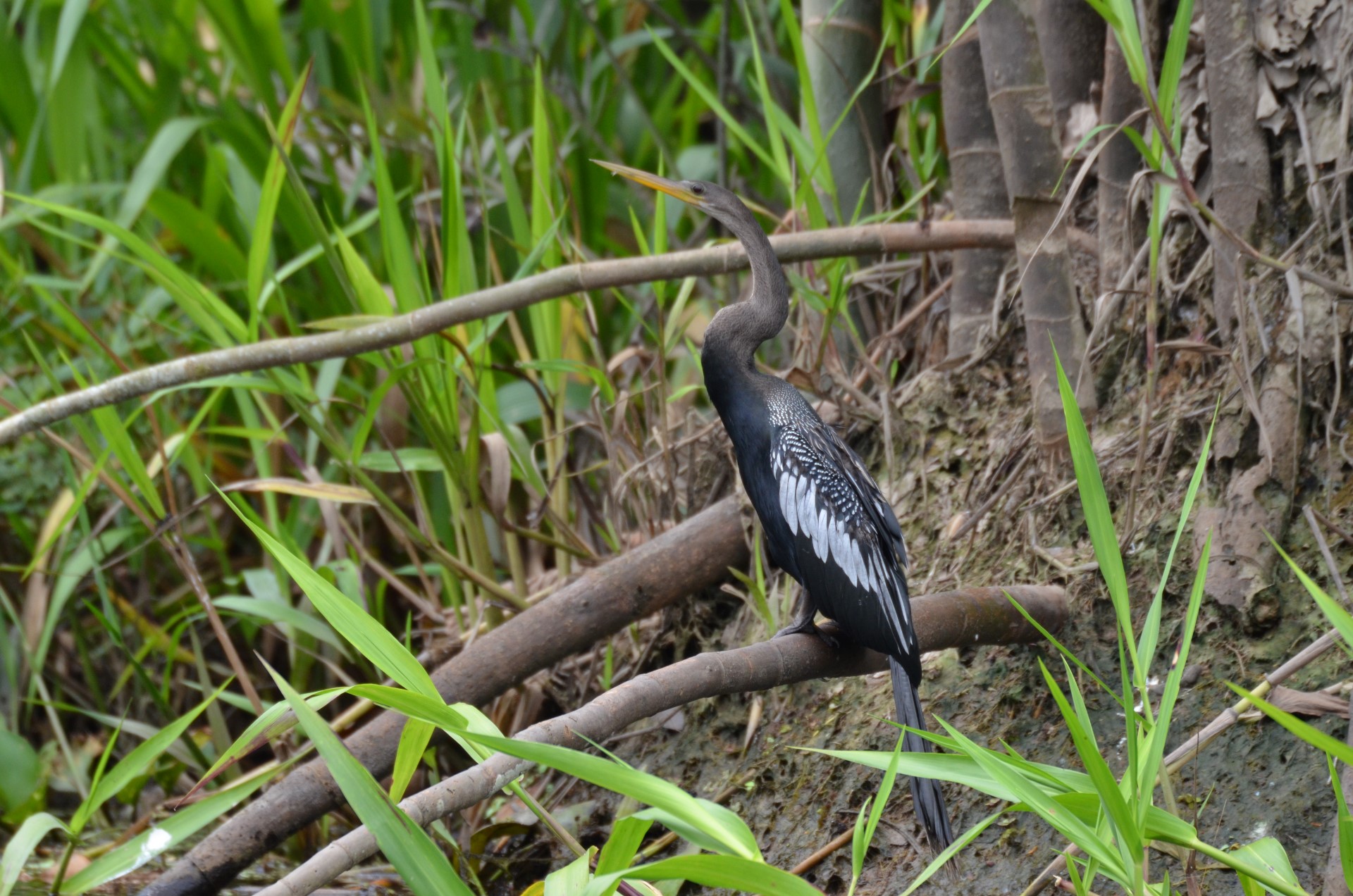
Apple Snail Heron
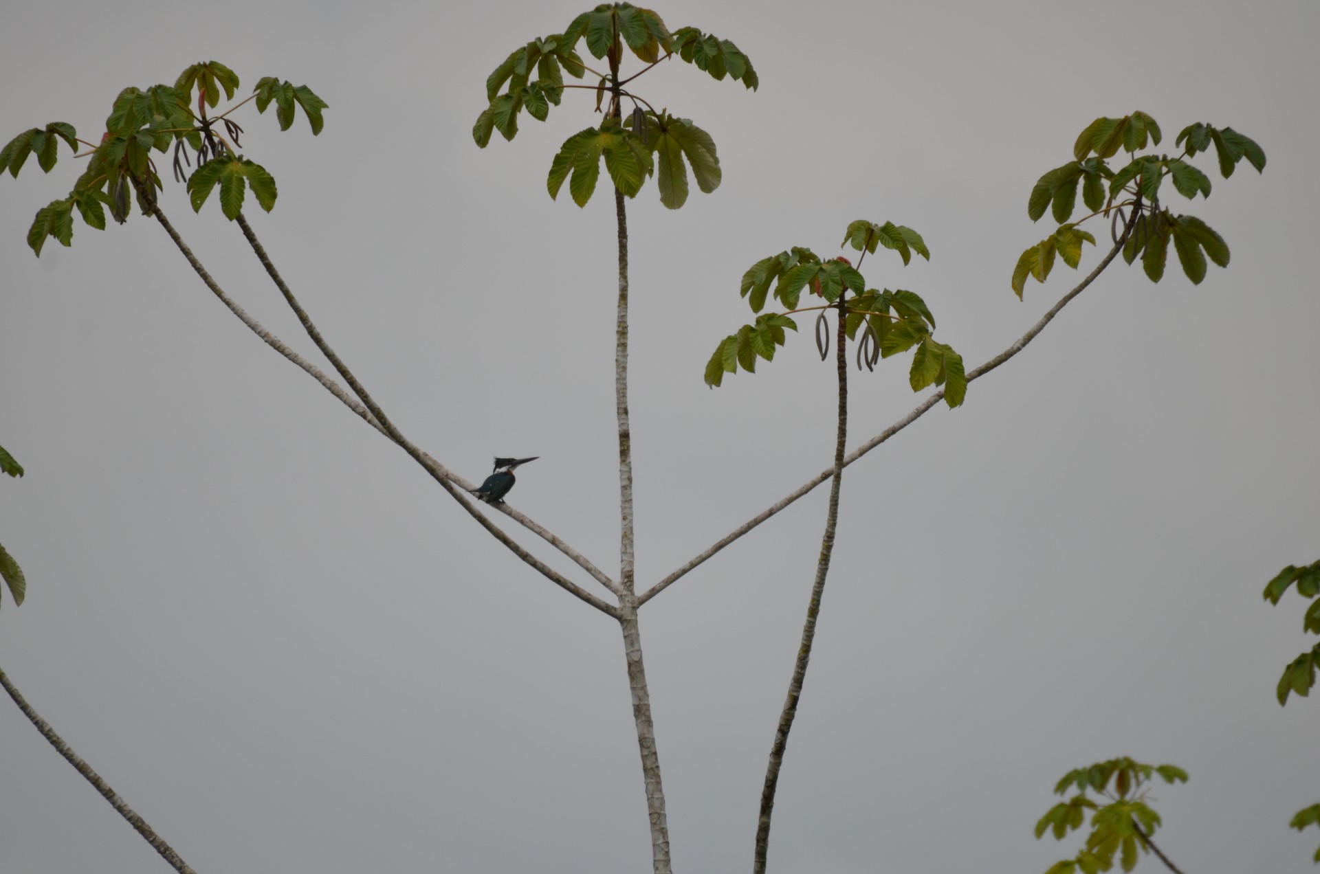
King Fisher
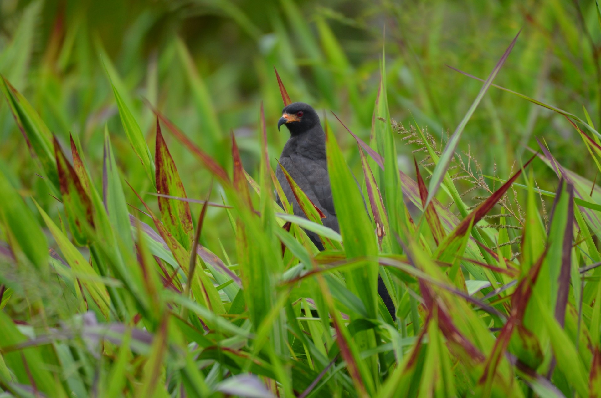
Raptor
Bird
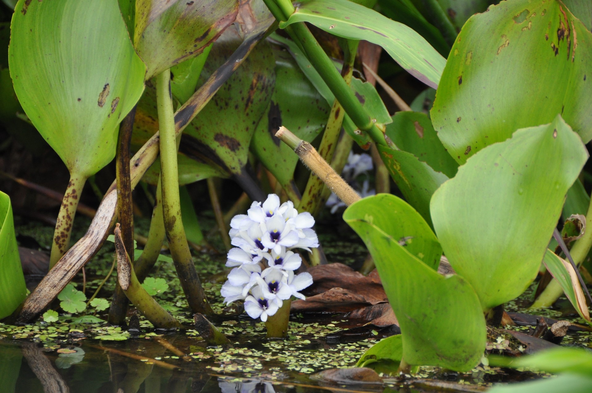
Water Flower
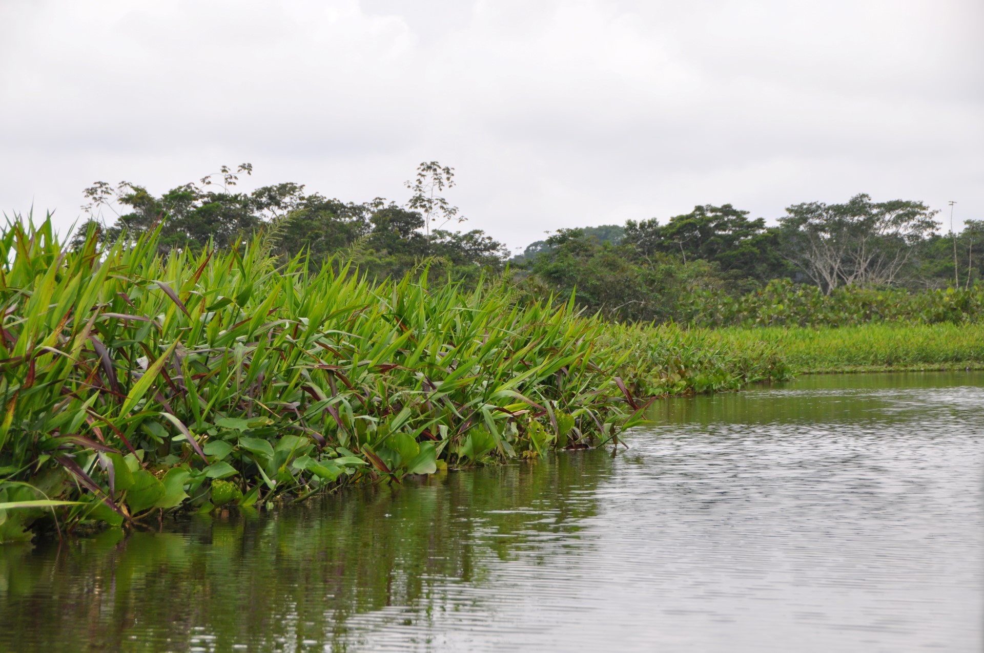
Lake Challuacocha
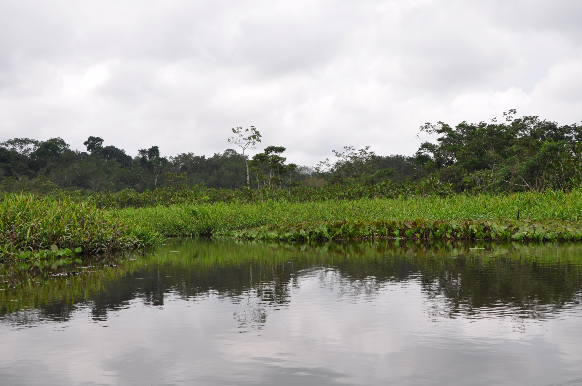
Lake Challuacocha
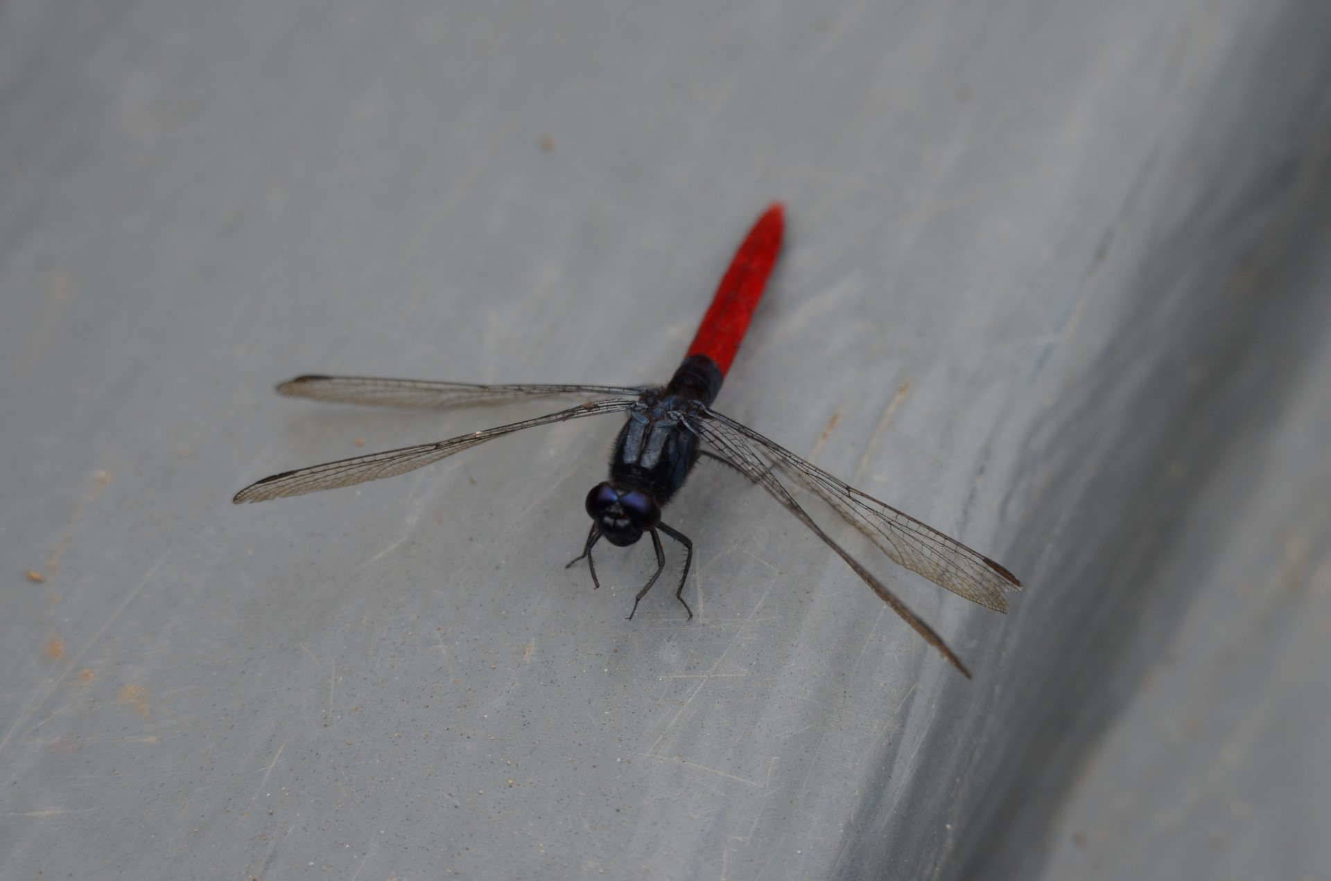
Dragonfly
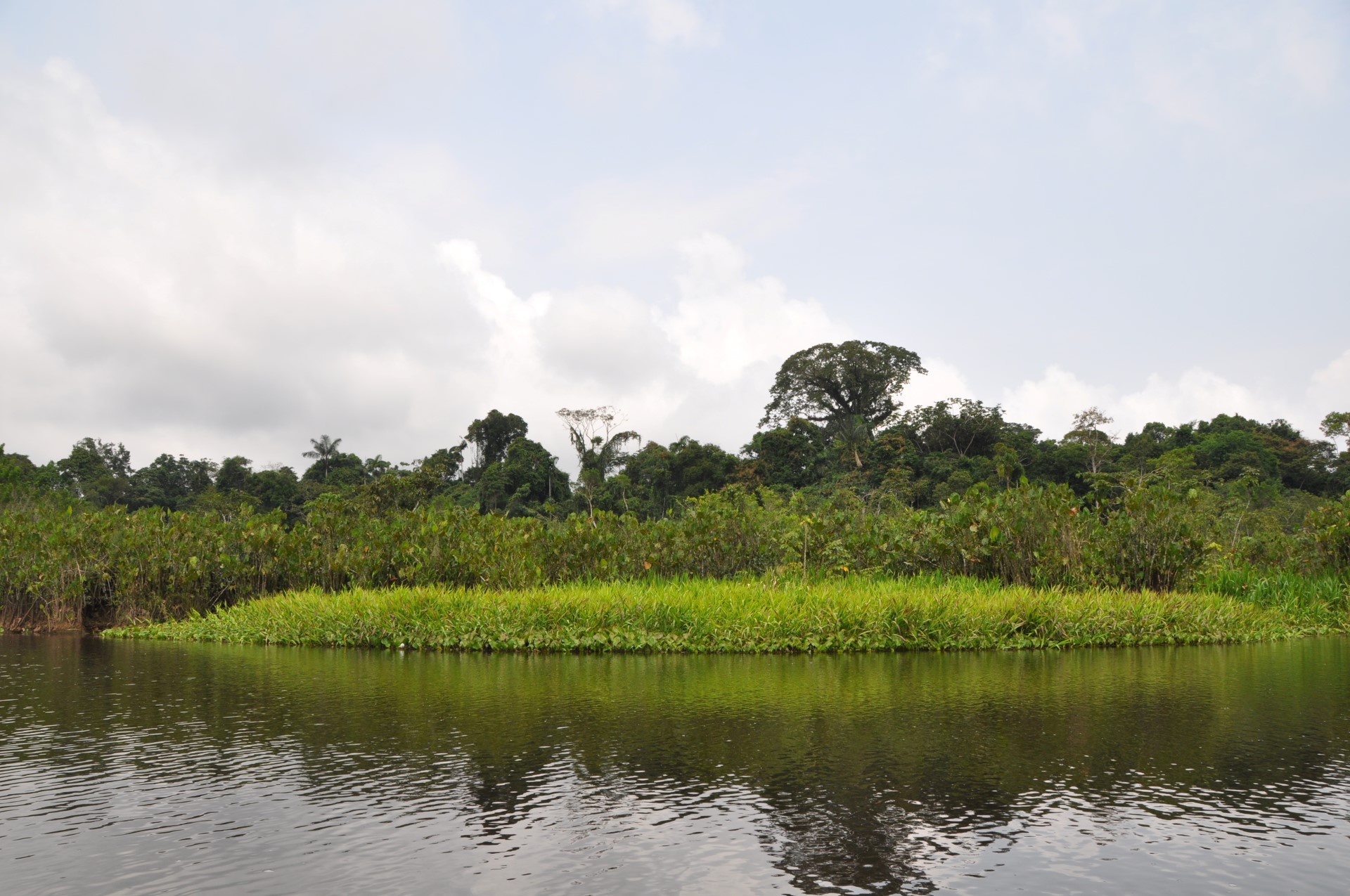
Lake Challuacocha
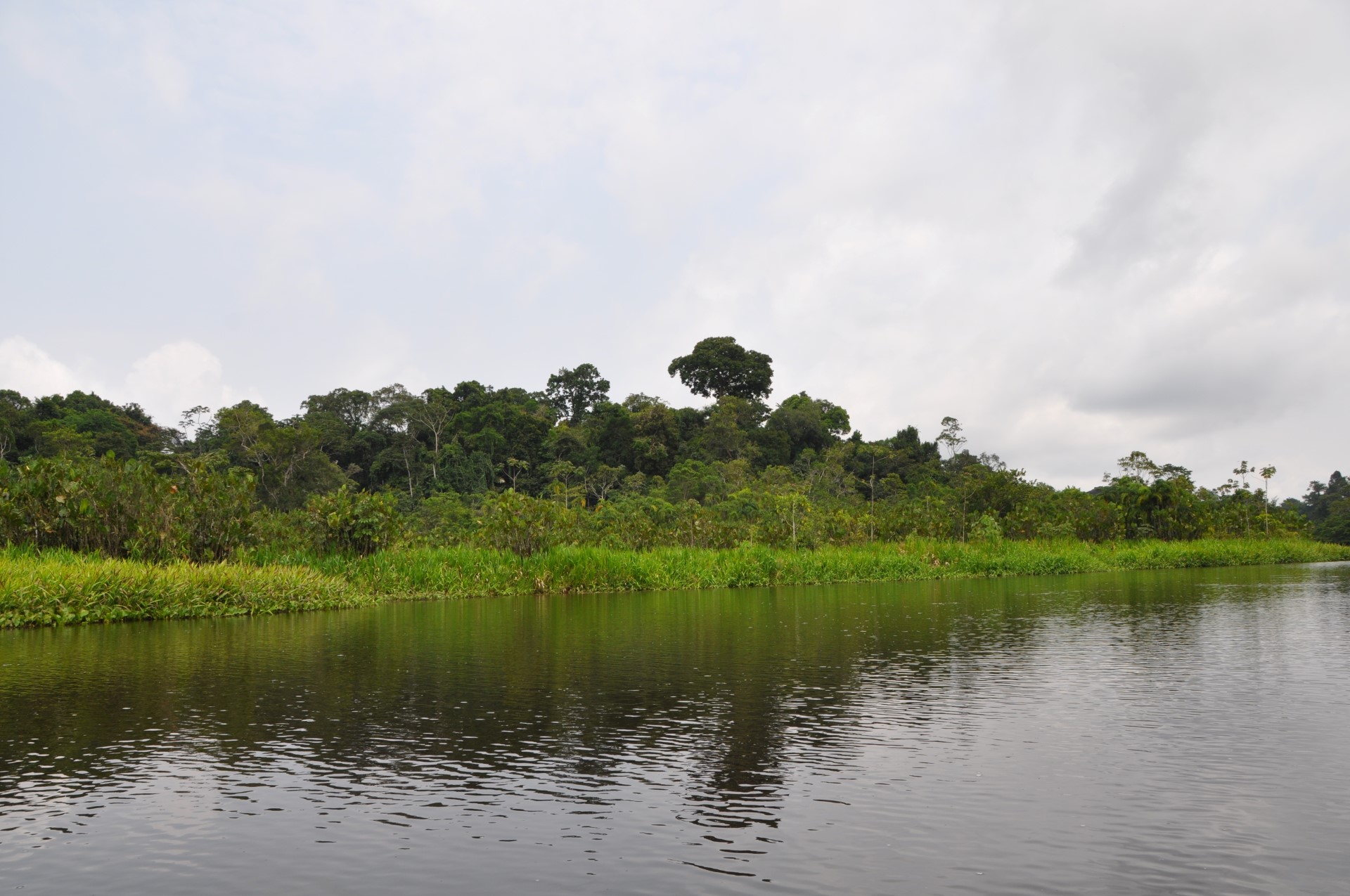
Lake Challuacocha
Bird
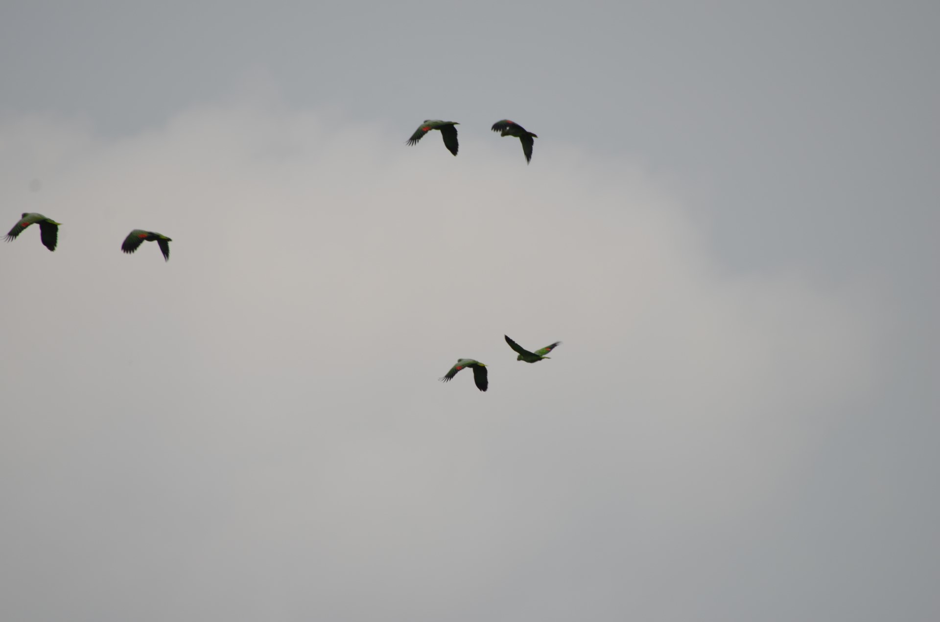
Amazon Parrots
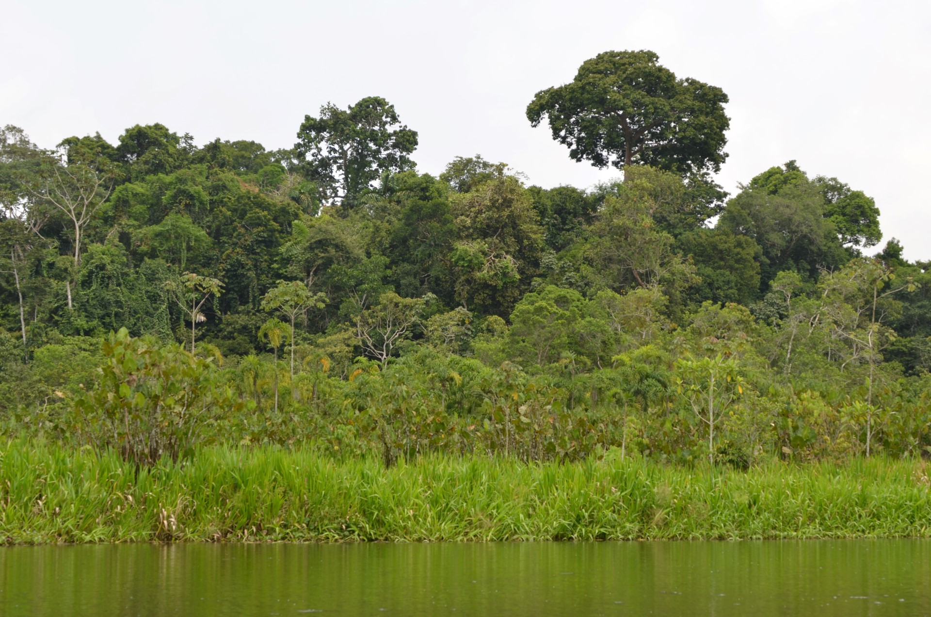
Lake Challuacocha
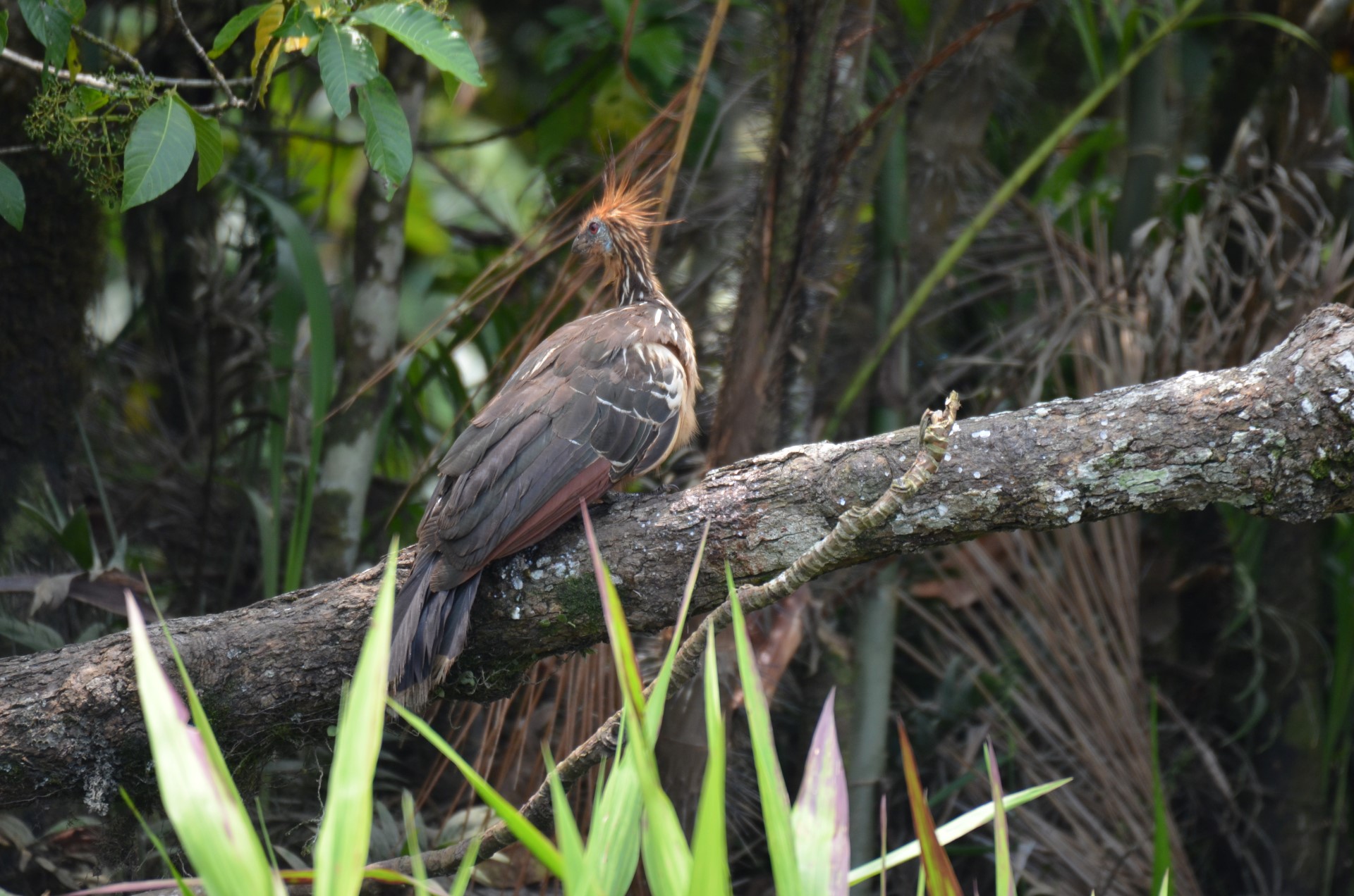
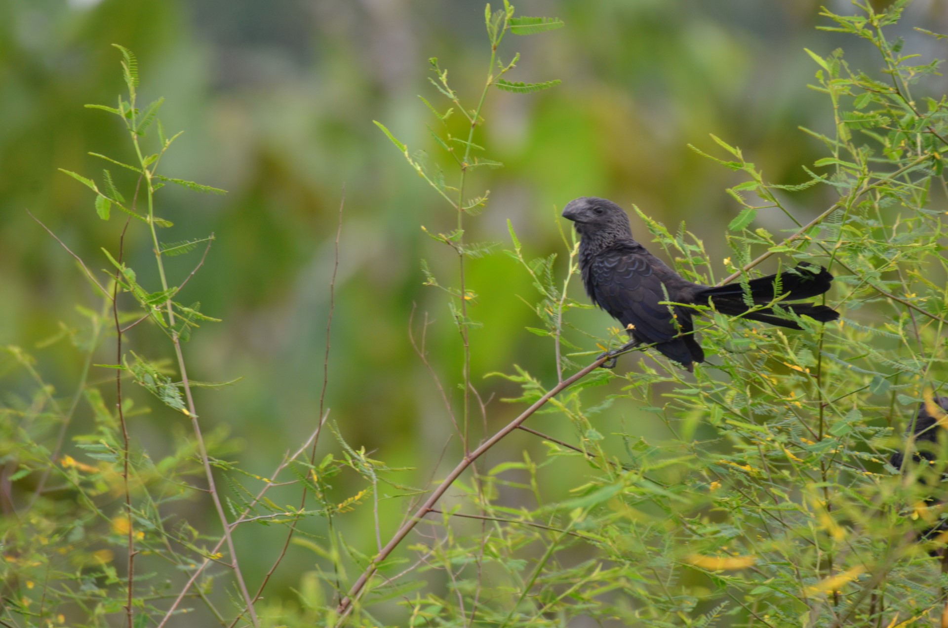
Huatzin (Stinky Turkey)
Apple Snail Heron
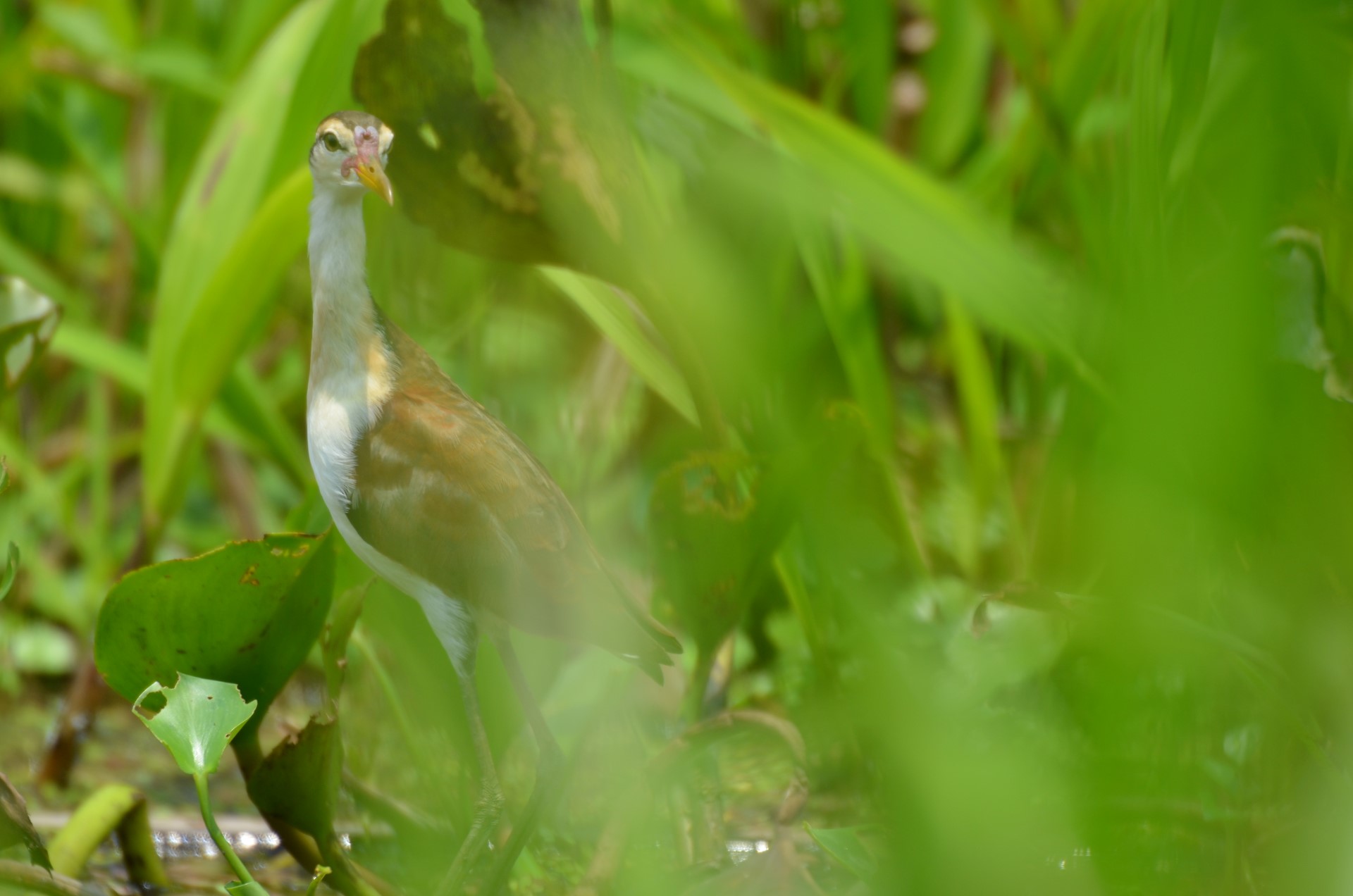
Bird
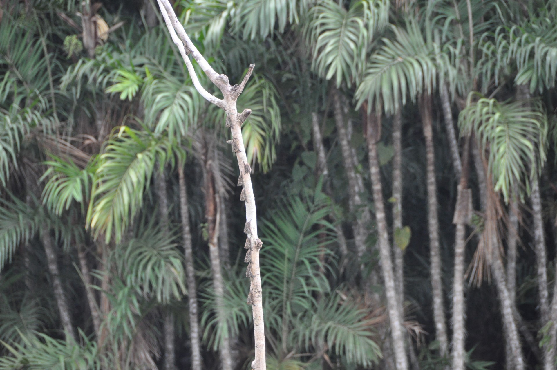
Bats
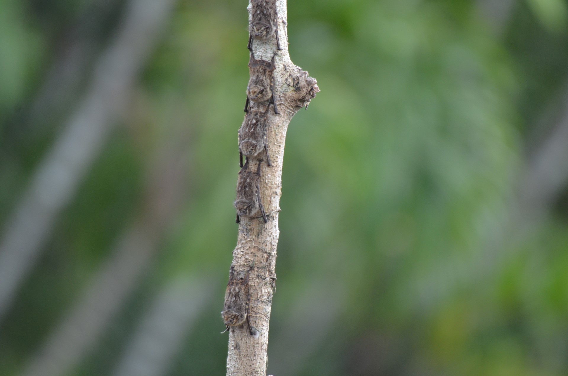
Bats
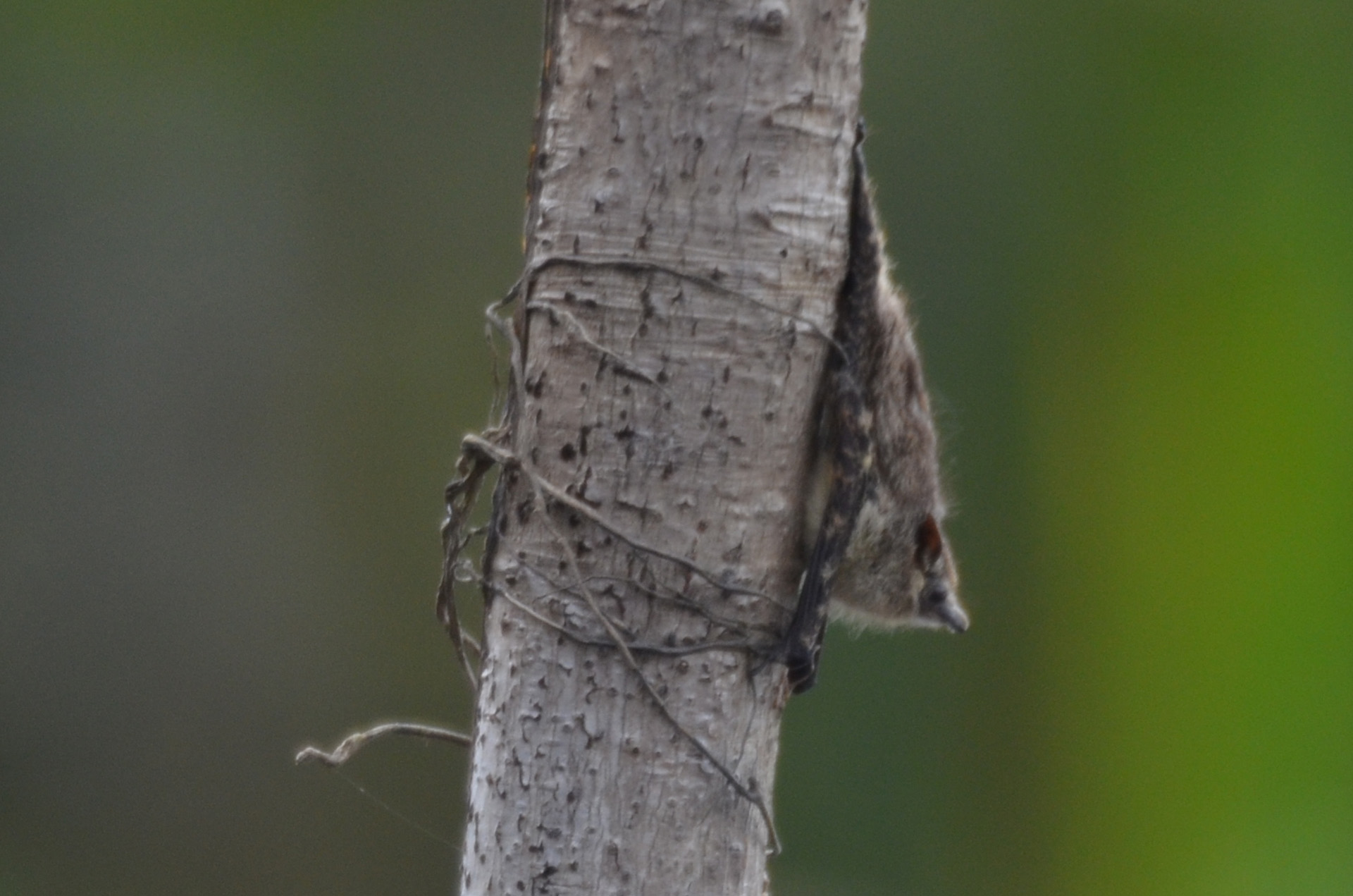
Bat
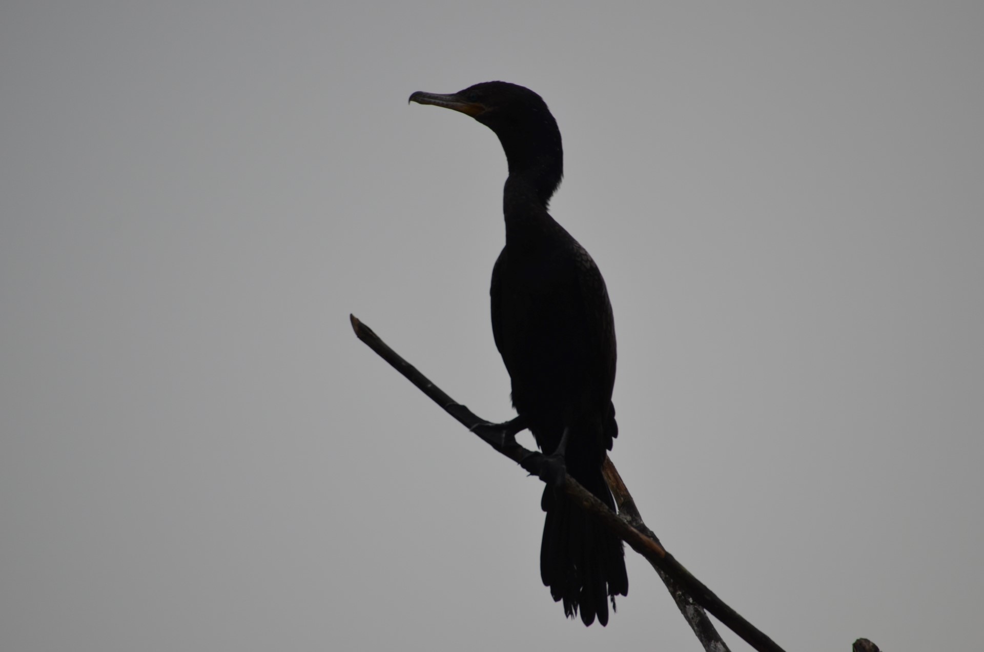
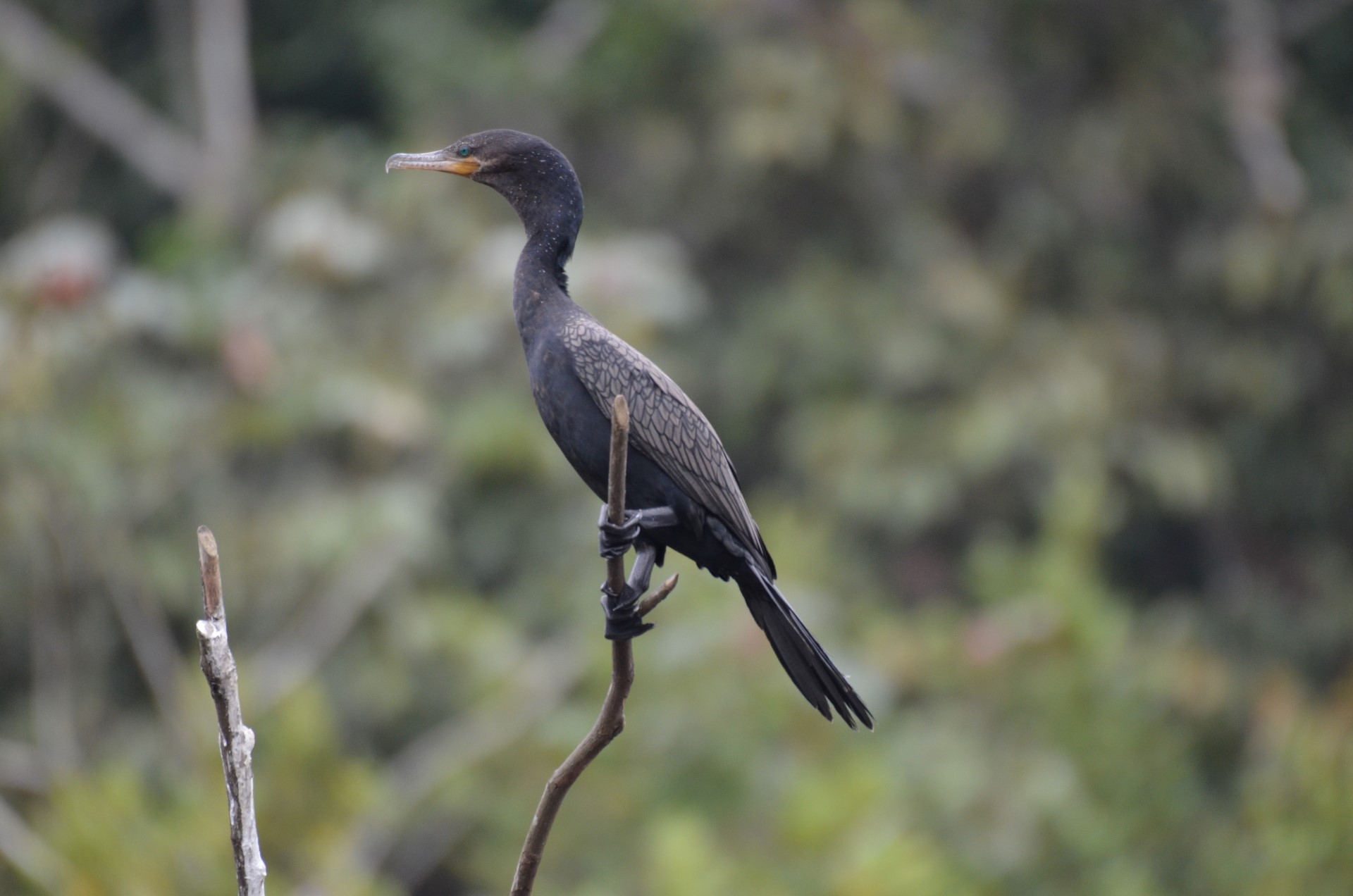
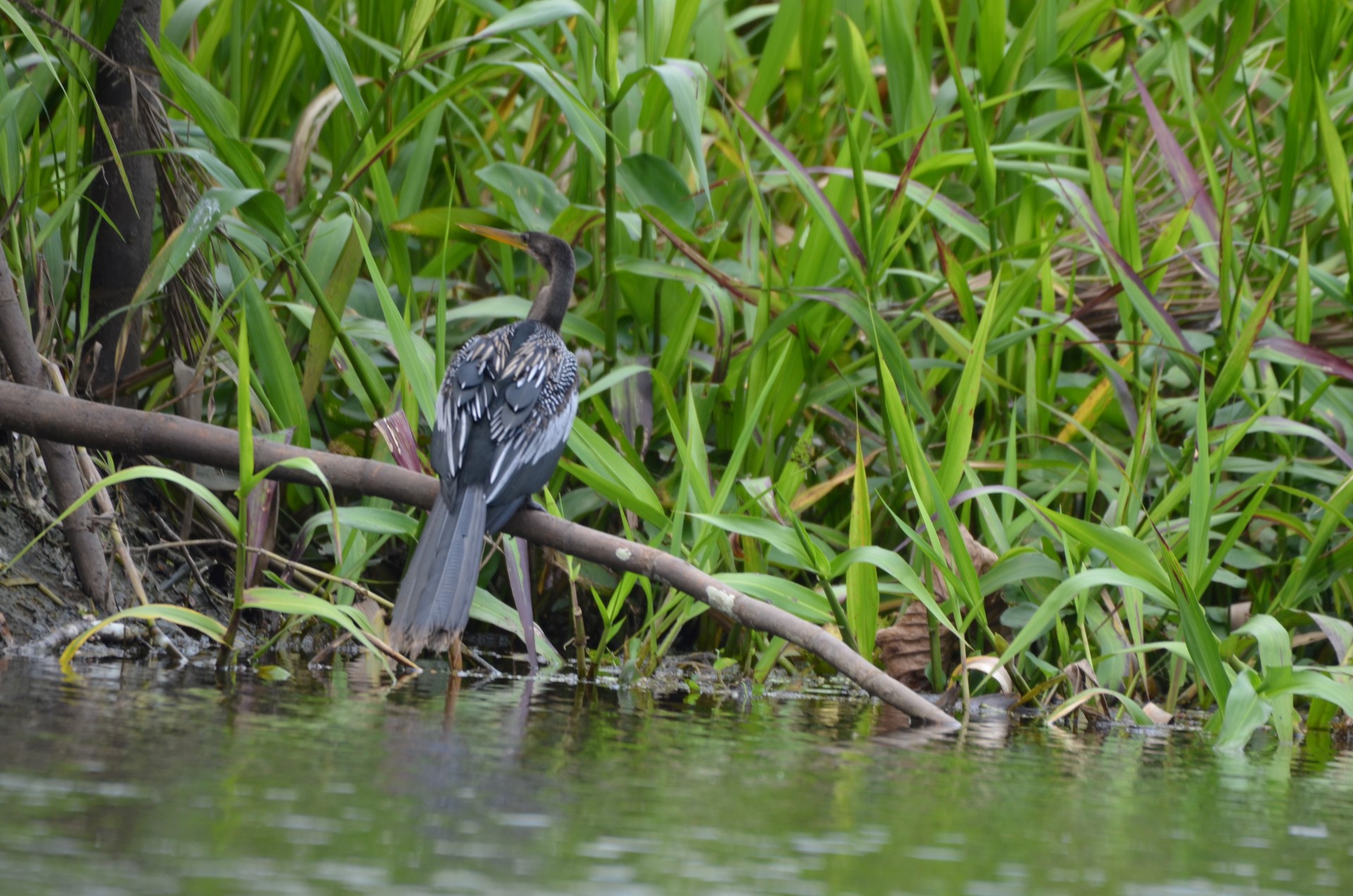
Cormorant
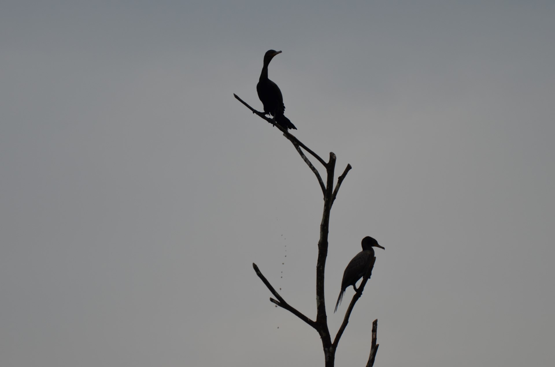
Cormorants
Bird
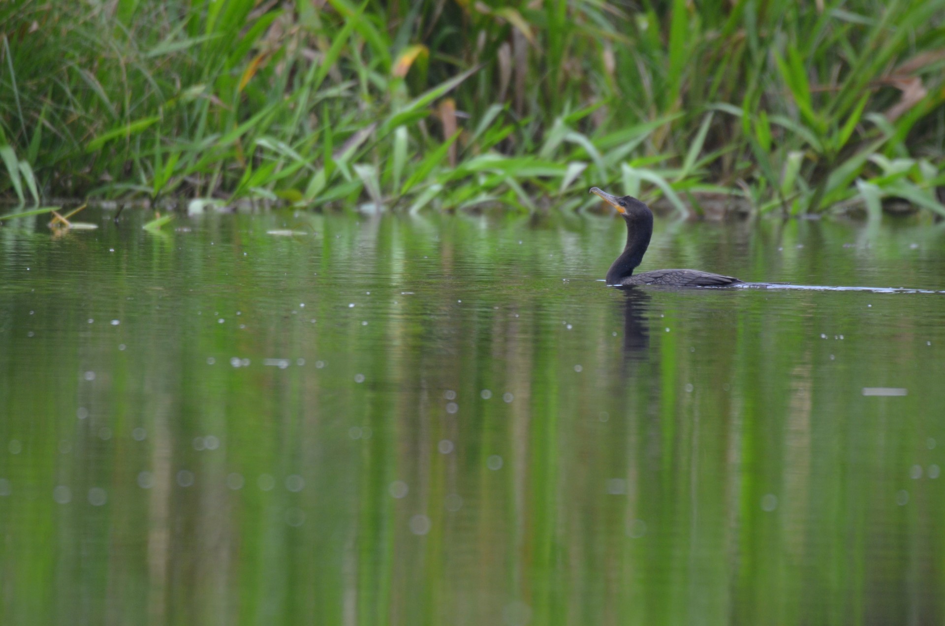
Cormorant
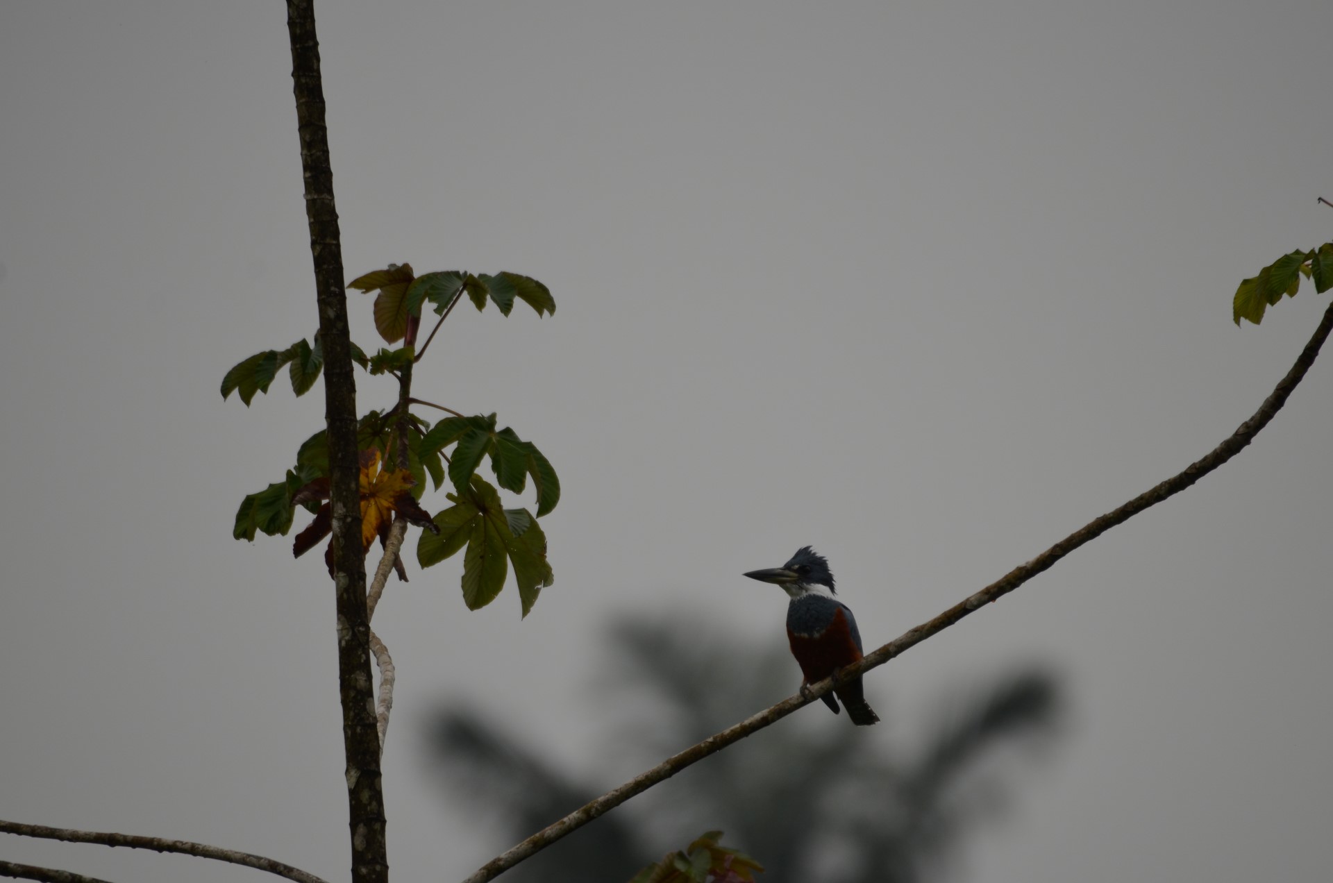
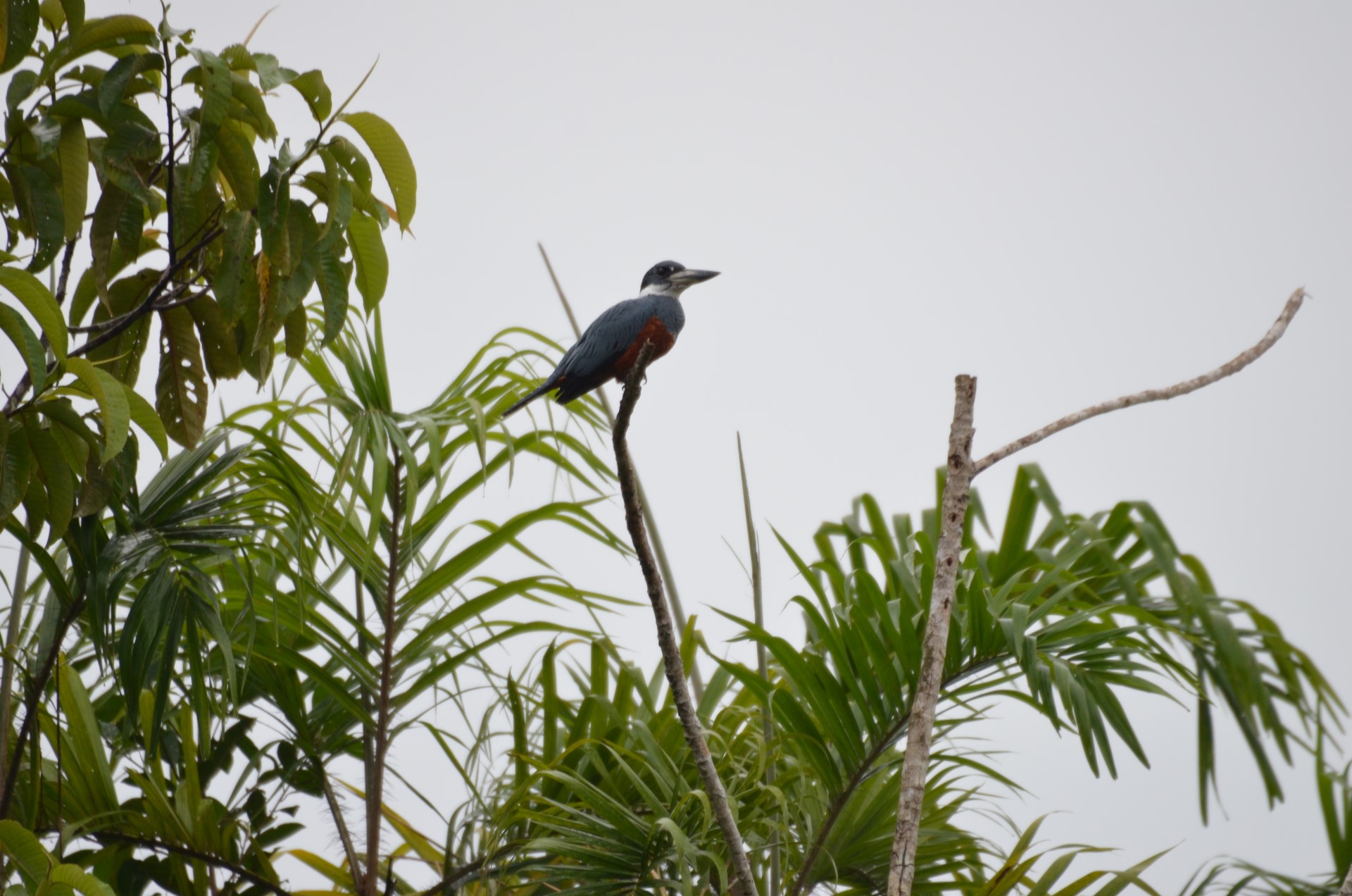
King Fisher
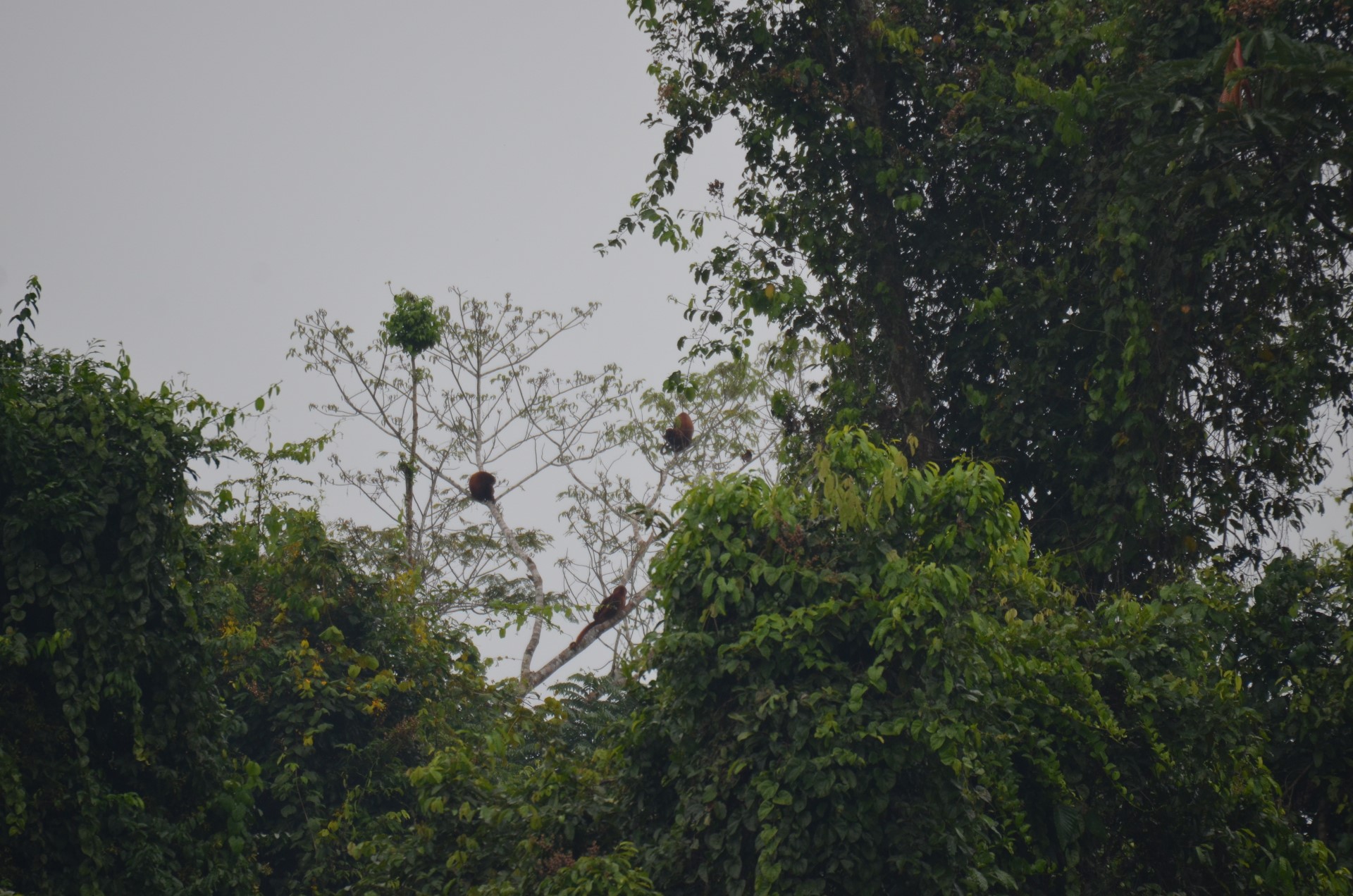
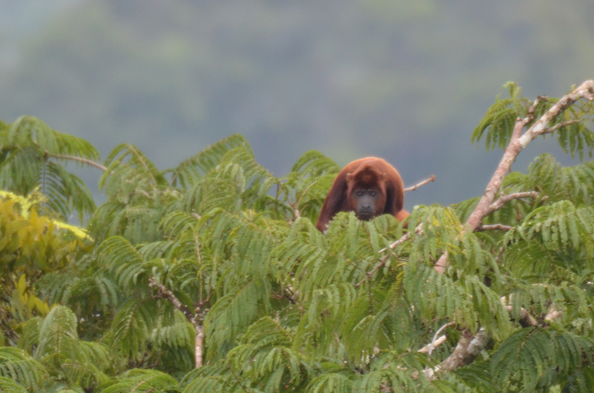
Red Howler Mokeys
Lake Challuacocha